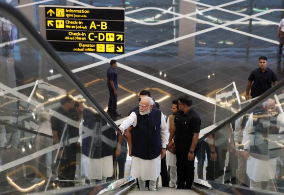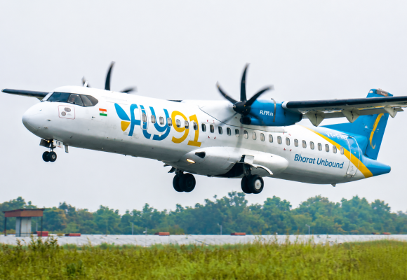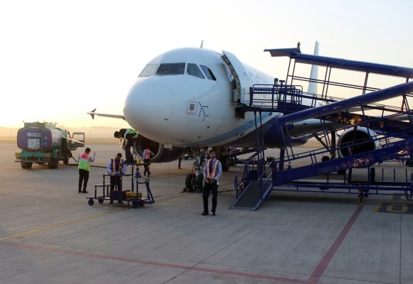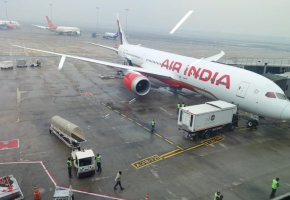
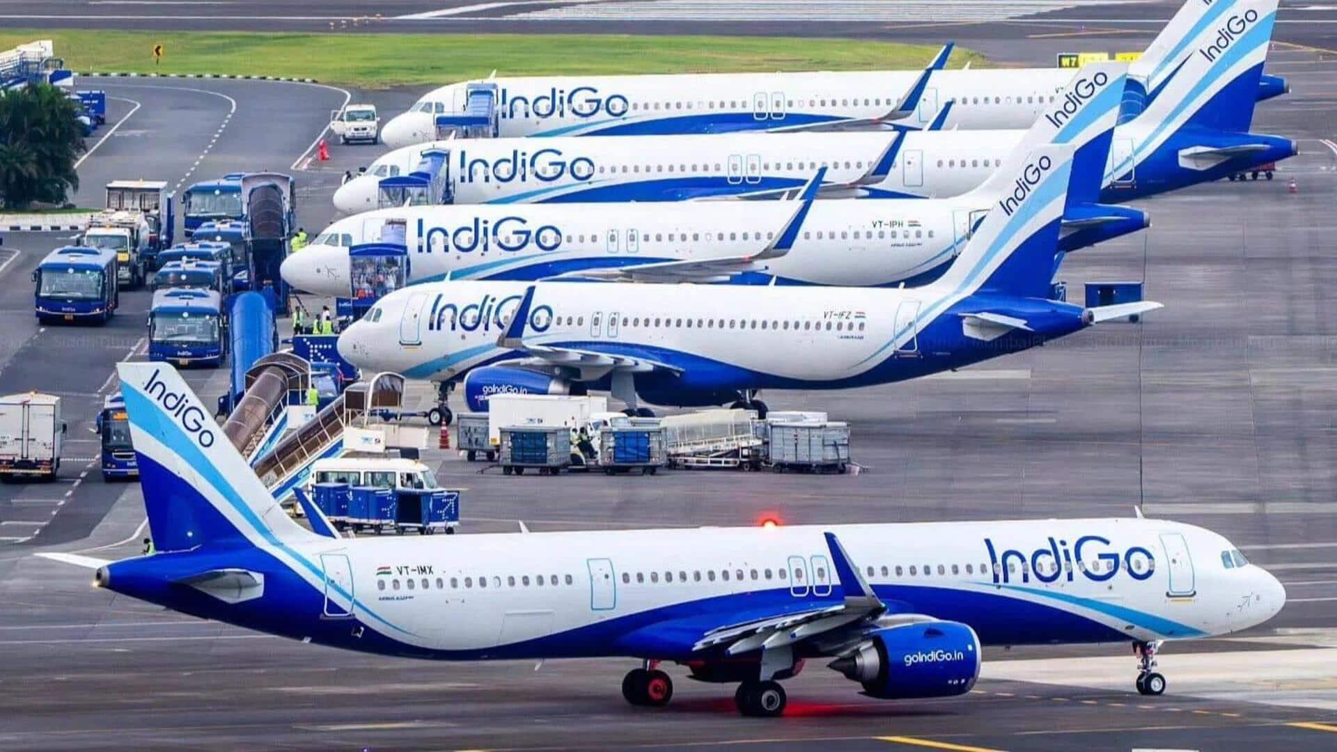
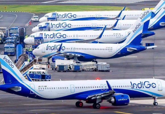
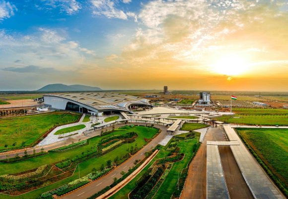
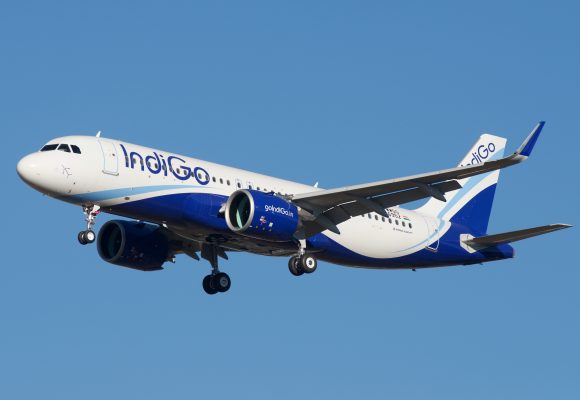
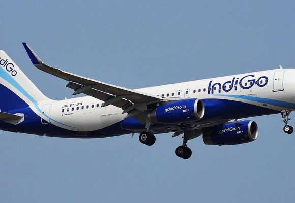
The announcement marks a significant step in the development of Mumbai’s dual-airport system and the emergence of NMIA as a new international gateway. IndiGo and Adani Airport Holdings Ltd (AAHL) have finalised plans to begin the airline’s international operations from Navi Mumbai International Airport (NMIA) from February 2027, marking a significant step in the development of Mumbai’s dual-airport system and the emergence of NMIA as a new international gateway. As part of the phased expansion, IndiGo will progressively transfer 12 daily international departures from Chhatrapati Shivaji Maharaj International Airport (CSMIA) to NMIA. The shift will cover the airline’s existing services...


October 25, 2026October 25, 2026
IndiGo to Build Navi Mumbai International Hub with 12 Overseas Routes from February 2027
October 16, 2026October 21, 2026
India’s Open Mobility Pioneer Takes Its Ride‑Hailing Model to Europe




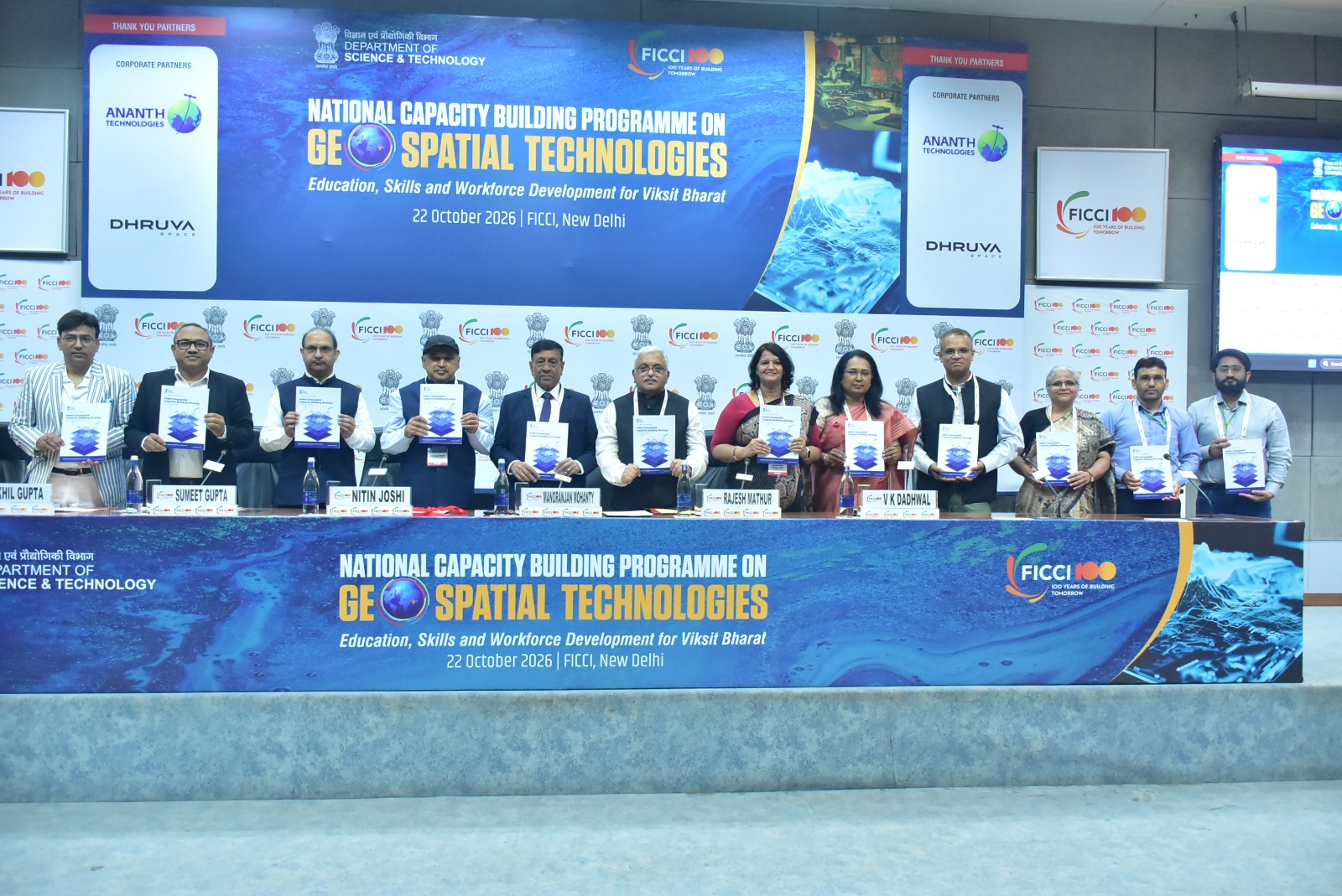
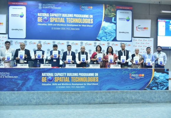
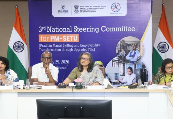
Geospatial Workforce Expansion Critical to Viksit Bharat Vision: Experts
India will need around 1 million additional skilled geospatial professionals beyond its current workforce to meet the goals of the National Geospatial Policy 2022, stakeholders have said. India will need around 1 million additional skilled geospatial professionals, over and above its current workforce, to achieve the goals of the National Geospatial Policy 2022. Addressing the industry chamber FICCI’s ‘National Capacity Building Programme on Geospatial Technologies: Education, Skills & Workforce Development for Viksit Bharat’, Nitin Joshi, Additional Surveyor General, Northern Zone at the national mapping agency Survey of India, on Thursday said that skilled mid-level and senior professionals are especially scarce....
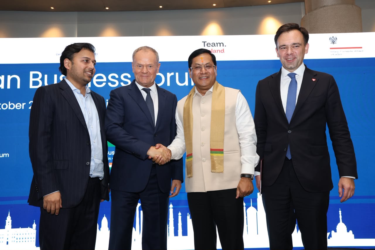
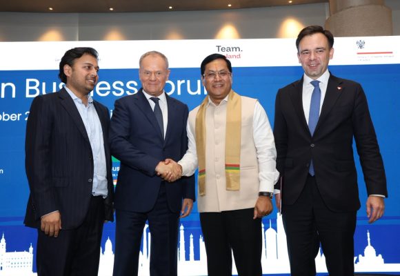
Sonowal Urges Polish Firms to Build and Invest in India as Strategic Ties Deepen
Union Minister Sarbananda Sonowal asked business leaders to view the India-EU Free Trade Agreement as a catalyst for deeper economic and technological cooperation. Union Minister for Ports, Shipping and Waterways Sarbananda Sonowal has urged Polish companies to expand their presence in India through investment, manufacturing and technology partnerships, as he pitched the country’s growth story to businesses from both nations at the India-Poland Business Forum on Thursday. The event was attended by Poland’s Prime Minister Donald Tusk. Sonowal said Prime Minister Narendra Modi’s visit to Poland in August 2024 elevated bilateral relations to a strategic partnership and created new opportunities...